
Seamless indoor & outdoor positioning for connected urban experiences
For smart cities, mixed-use developments and innovation districts that combine offices, retail, public spaces and cultural venues. Pole Star delivers continuous indoor and outdoor positioning to improve navigation, visitor engagement and location analytics across the entire district.
Proven in one of the world's leading smart districts

What is a smart city location platform?
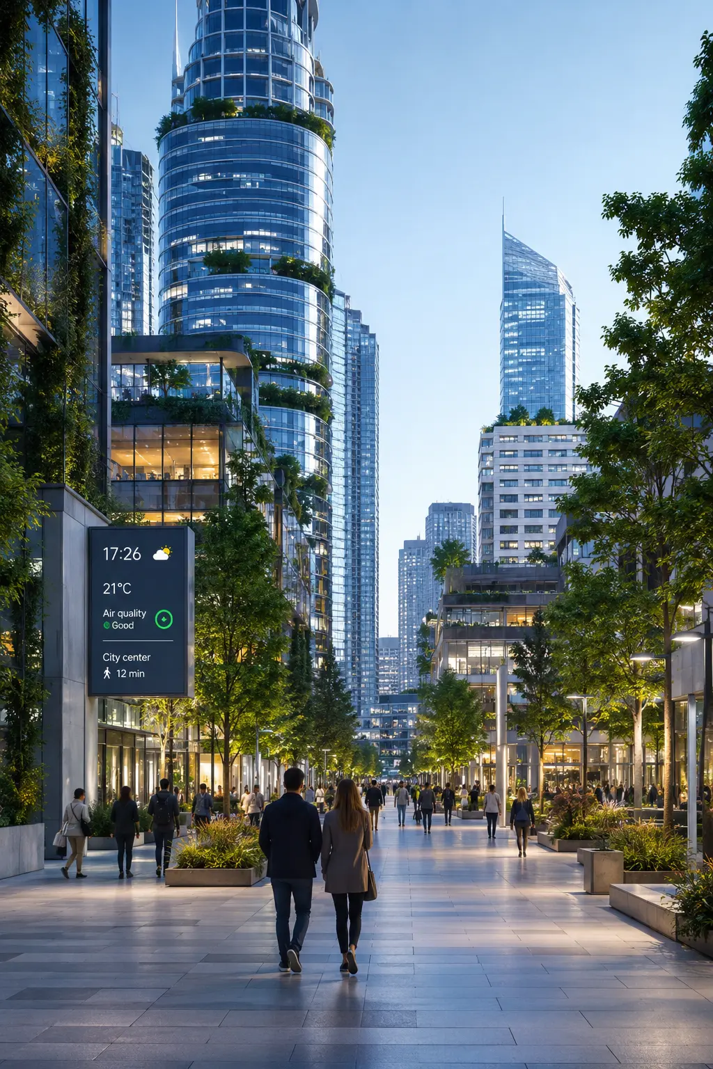
A smart city location platform provides seamless indoor and outdoor positioning across urban districts, combining BLE positioning, mobile applications and existing wireless infrastructure to enable navigation, location-based services and analytics for visitors, residents and city operators throughout connected environments.
Connected urban experiences
Deliver indoor and outdoor navigation, location-based services, parking assistance and contextual information through a single location platform.
Smart districts & city operators
Mixed-use developments, innovation districts, municipalities, property developers and organizations managing large urban environments.
Better visitor experiences
Modern urban districts require seamless navigation, digital services and actionable insights to improve mobility, engagement and operational efficiency.
BLE-powered location intelligence
Positioning is computed using existing BLE and Wi-Fi infrastructure together with mobile applications, providing continuous location indoors and outdoors without dedicated GPS infrastructure.
Why seamless location matters in smart urban districts
Modern smart districts combine offices, retail, hospitality, residential buildings and public spaces. Visitors expect a seamless digital experience as they move between indoor and outdoor environments.
Accurate positioning enables intuitive navigation, parking guidance, contextual services and location-based information while helping city operators better understand mobility patterns and optimize public spaces across the district.
By leveraging existing BLE and Wi-Fi infrastructure, smart city platforms provide continuous location services without requiring dedicated positioning hardware, creating a connected experience for residents, visitors and operators.
What Pole Star locates across the smart city
Indoor / outdoor continuity
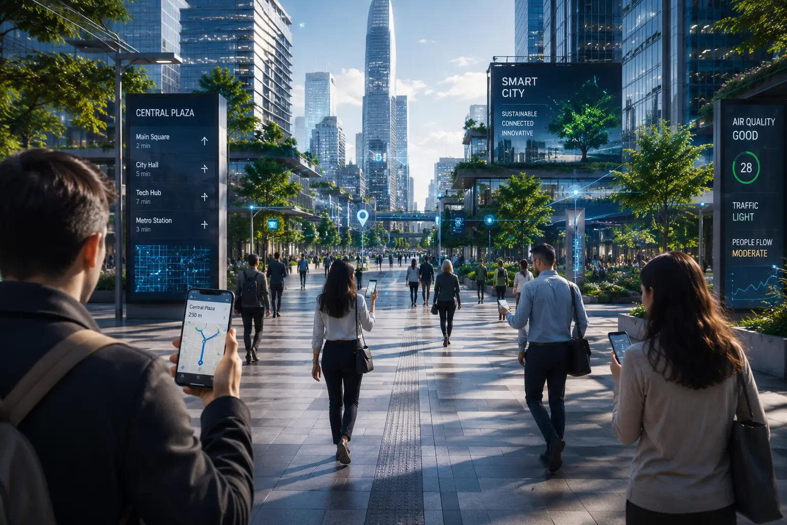
One location layer, from outdoor streets to indoor spaces
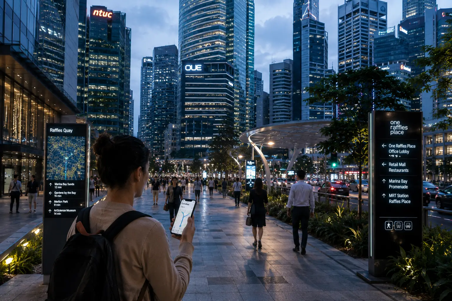
NAO® Mobile delivers a seamless transition from outdoor GPS to indoor BLE positioning at the building entrance - no gap, no manual switch. Visitors keep their blue dot as they walk from the street into a museum, shopping district or transport hub.
People & assets located
Via BLE, GPS and mobileCity visitors
GPS + BLEGuided continuously from outdoor public spaces to indoor destinations in a single city app.
Residents
NAO® MobileEveryday navigation inside residential, commercial and civic buildings - all in the district app.
Public building users
BLEIndoor navigation inside municipal offices, cultural venues and civic centers.
Field & maintenance staff
BLE + GPSOperational teams located across the district for coordination, safety and faster response.
City assets
BLE tagsShared mobility, public equipment and city infrastructure located in real time across the district.
Safety & security teams
BLE + GPSEmergency responders and security staff located continuously, indoors and outdoors.
Environments covered
Across the city districtOutdoor public spaces
Streets, squares and parks where GPS provides the location baseline for the city app.
Shopping & retail districts
Multi-tenant commercial areas where indoor navigation guides visitors from the street to the store.
Museums & cultural venues
Complex floor plans where turn-by-turn guidance and location-based content enhance the visit.
Transport hubs
Stations, metro entrances and interchanges where the handoff between outdoor and indoor is seamless.
Civic & municipal buildings
Government offices and civic centers where indoor navigation simplifies services for residents.
Residential & mixed-use buildings
Multi-building districts where one app covers the whole neighbourhood, indoors and out.
Visitor experiences before and after indoor positioning
Tap a scenario to see how the visitor experience changes once indoor positioning is in place - from static signage to a guided, contextual journey.
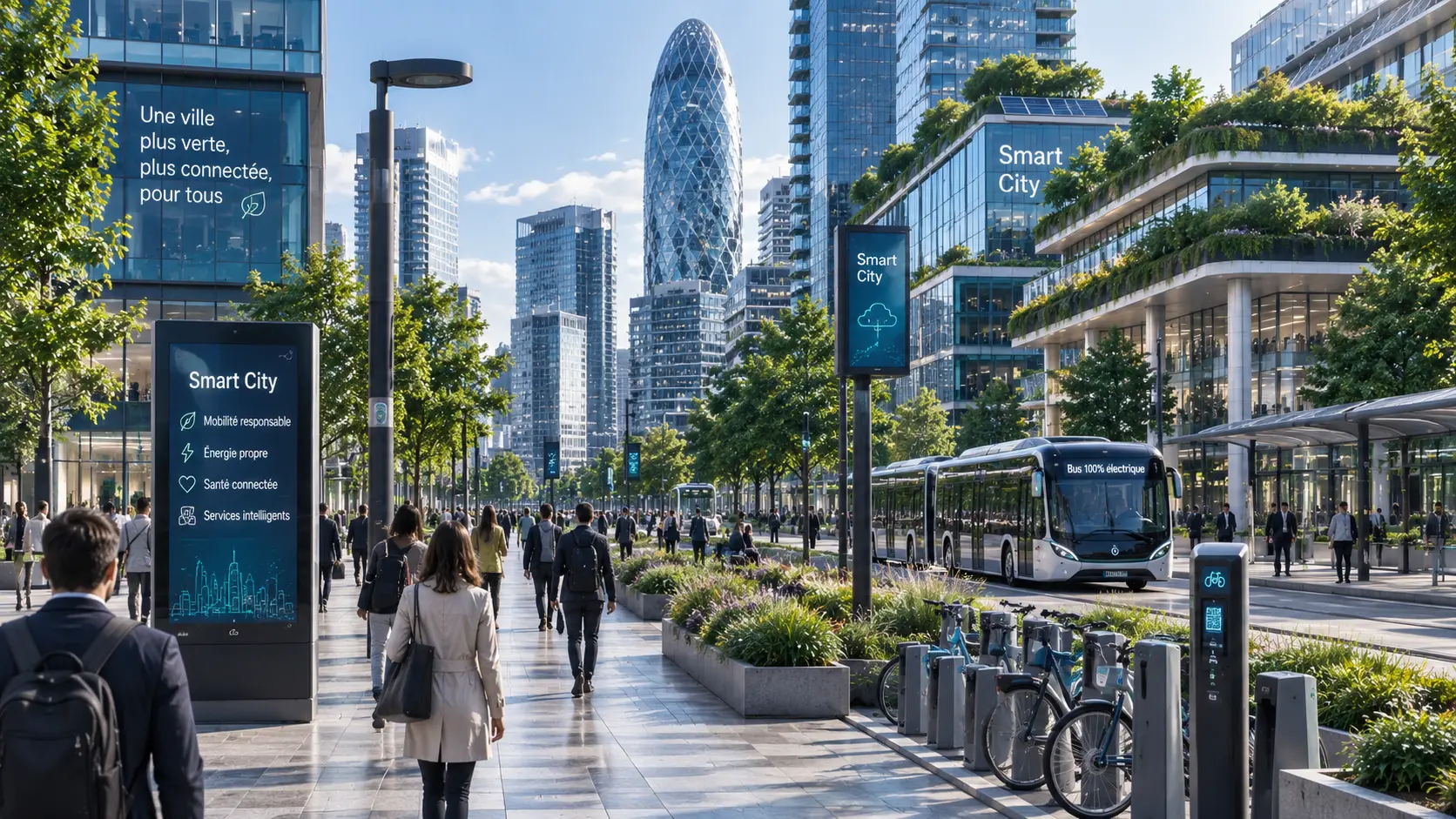
The visitor relies on static maps or signage, often taking longer routes or asking staff for directions.
NAO® Mobile provides turn-by-turn indoor navigation directly inside the venue's mobile application.
Faster journeys and a smoother visitor experience.
Digital content remains generic and visitors must manually search for additional information.
NAO® Mobile automatically delivers location-aware content, multimedia experiences or promotional information based on the visitor's position.
More engaging and personalized visitor experiences.
Decisions are based on assumptions, manual observations or incomplete analytics.
Indoor analytics reveal visitor flows, popular areas and dwell times to support operational and commercial decisions.
Better layouts, improved visitor flows and data-driven optimization.
Notifications and promotions are sent without considering where visitors actually are.
NAO® Mobile enables contextual notifications, proximity services and location-based experiences throughout the venue.
Higher visitor engagement and more relevant digital interactions.
How smart cities use real-time location
From visitor navigation to urban analytics, real-time location services improve the experience for residents, visitors and city operators across connected districts.
Helping people navigate complex urban districts
A visitor needs to reach a destination across offices, retail and public spaces.
Indoor and outdoor positioning provides seamless navigation across the district.
Faster journeys and an improved visitor experience.
Delivering location-based digital services
A resident or visitor enters a specific area of the district.
Geofencing automatically delivers contextual information, events or promotions.
More engaging and personalized urban experiences.
Understanding pedestrian movement
City operators want to understand how public spaces are used.
Location analytics measure footfall, dwell time and movement patterns.
Better planning and data-driven urban operations.
Managing operations across multiple buildings
Facility managers need real-time visibility across an entire smart district.
A single platform monitors assets, maintenance teams and connected services.
Greater operational efficiency and faster interventions.
Built for complex smart city ecosystems
Smart cities combine public spaces, transportation, commercial districts and municipal services. Pole Star is designed to integrate with this complex environment while remaining scalable, interoperable and privacy-conscious.
Works with existing city infrastructure
Reuse existing BLE beacons, Wi-Fi networks and mobile applications to deploy indoor positioning without rebuilding the city's digital infrastructure.
One platform across multiple buildings
Manage navigation and location services across museums, metro stations, shopping districts, public buildings and mixed-use developments from a single platform.
Connects with existing city services
Integrate indoor positioning with visitor apps, mobility platforms, facility management systems and operational dashboards through standard APIs.
Designed with citizen privacy in mind
Support location-based services while respecting modern privacy requirements, giving city operators full control over how positioning data is collected and used.
A smart district built around digital experiences
Pole Star helps transform one of the world's most innovative urban developments into a connected destination where visitors can easily navigate indoor spaces, access digital services and enjoy a seamless experience.

Delivering seamless indoor experiences across a connected district
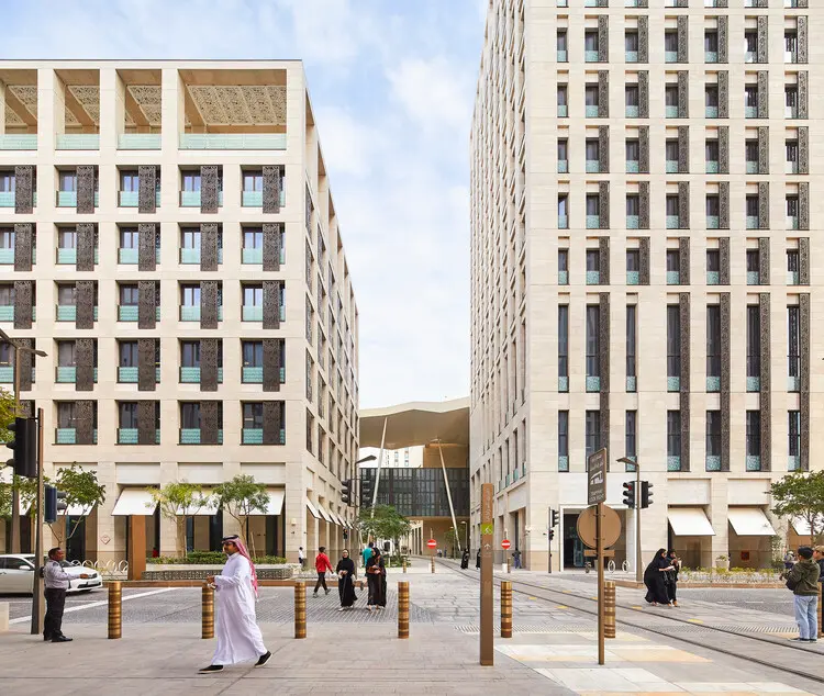
At Msheireb Downtown Doha, Pole Star provides indoor positioning that enables visitors to navigate complex public buildings, retail areas and cultural venues from a single mobile experience. The platform enhances accessibility while supporting the district's vision of a digitally connected smart city.
See the case studyPole Star solutions for smart cities and connected districts
Connect buildings, public spaces and digital services through a unified indoor location platform. Pole Star enables seamless navigation, operational visibility and smarter visitor experiences across modern urban developments.

Indoor navigation
Help visitors move effortlessly between offices, retail spaces, cultural venues and public facilities with intuitive indoor wayfinding across connected buildings.
Explore indoor navigationLocation analytics
Measure visitor flows, occupancy and movement patterns to improve building operations, urban planning and the overall citizen experience.
Explore analyticsAsset tracking
Monitor maintenance equipment, shared assets and operational resources across public buildings and mixed-use developments from one platform.
Explore asset tracking